In September 2018, BIKEast rode around the Sydney Airport and surrounding areas to check out cycling access and facilities currently available.
Visitors are a small percentage of the users of active travel to Sydney Airport. BIKEast’s main concern is encouraging and supporting the thousands of airport workers with safe active travel options to get to work. Many workers live nearby and transport options are currently limited and/or expensive.
Traffic congestion is also a known, major issue around Sydney Airport. Active transport (walking and cycling) can bring major benefits to reducing congestion (One Less Car), as well as improvements to community health and the environment.
Main concerns
- Investigation of recent upgrades – RMS Airport West Precinct – a walking / cycling bridge and a bicycle parking facility
- Limited cycling access to the International Terminal (T1)
- Complete lack of cycling access to the Domestic Terminal (T2 & T3)
- Limited cycling access from surrounding areas – Mascot and Arncliffe.
Route
- We started at Coward St, Mascot, a well known route.
- Headed South towards the Domestic Terminal (but not into the terminal).
- Travelled West to the International Terminal (along Airport Drive).
- Entered the International Terminal and inspected the new bicycle parking facility.
- Travelled North East back to the Domestic Terminal via Mascot Train Station / Coward St.
- Returned to the Eastern Suburbs via Mascot back streets and Wentworth Ave shared path.
Click on the image to interact with the route in more detail (via Strava).
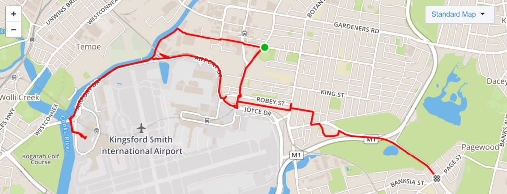
Map of BIKEast Sydney Airport ride
Domestic Terminal / T2 & T3
O’Riordan St Shared Path
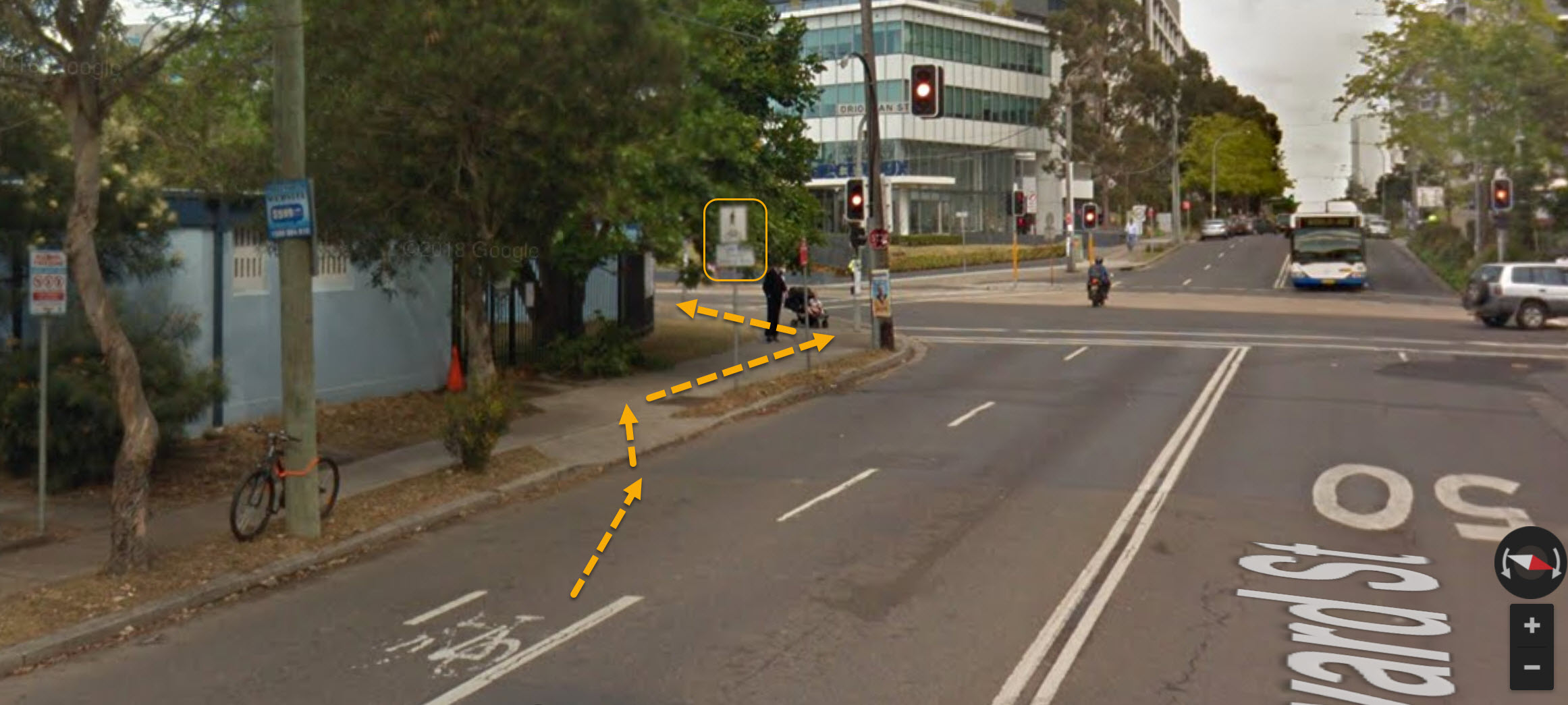
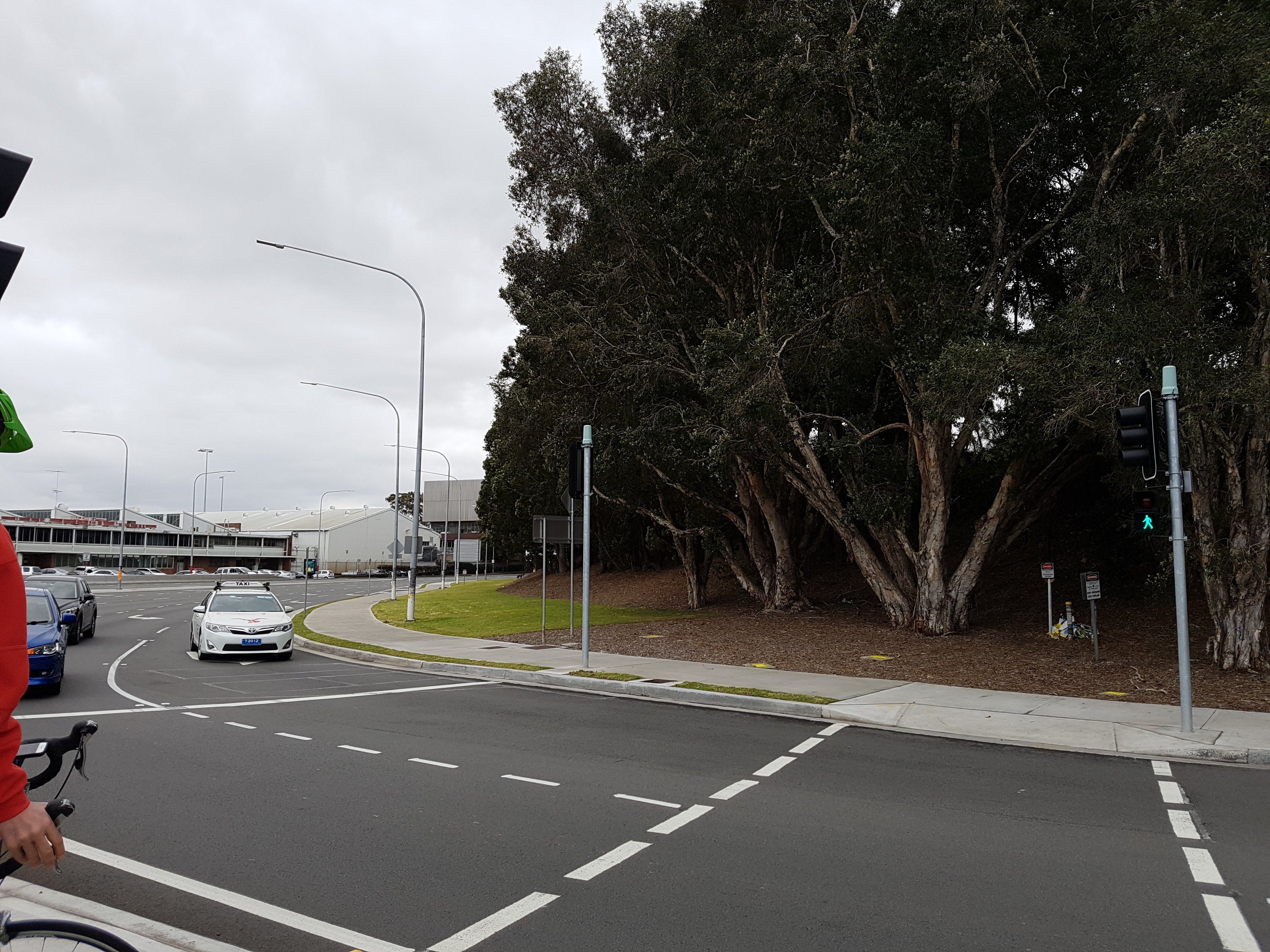
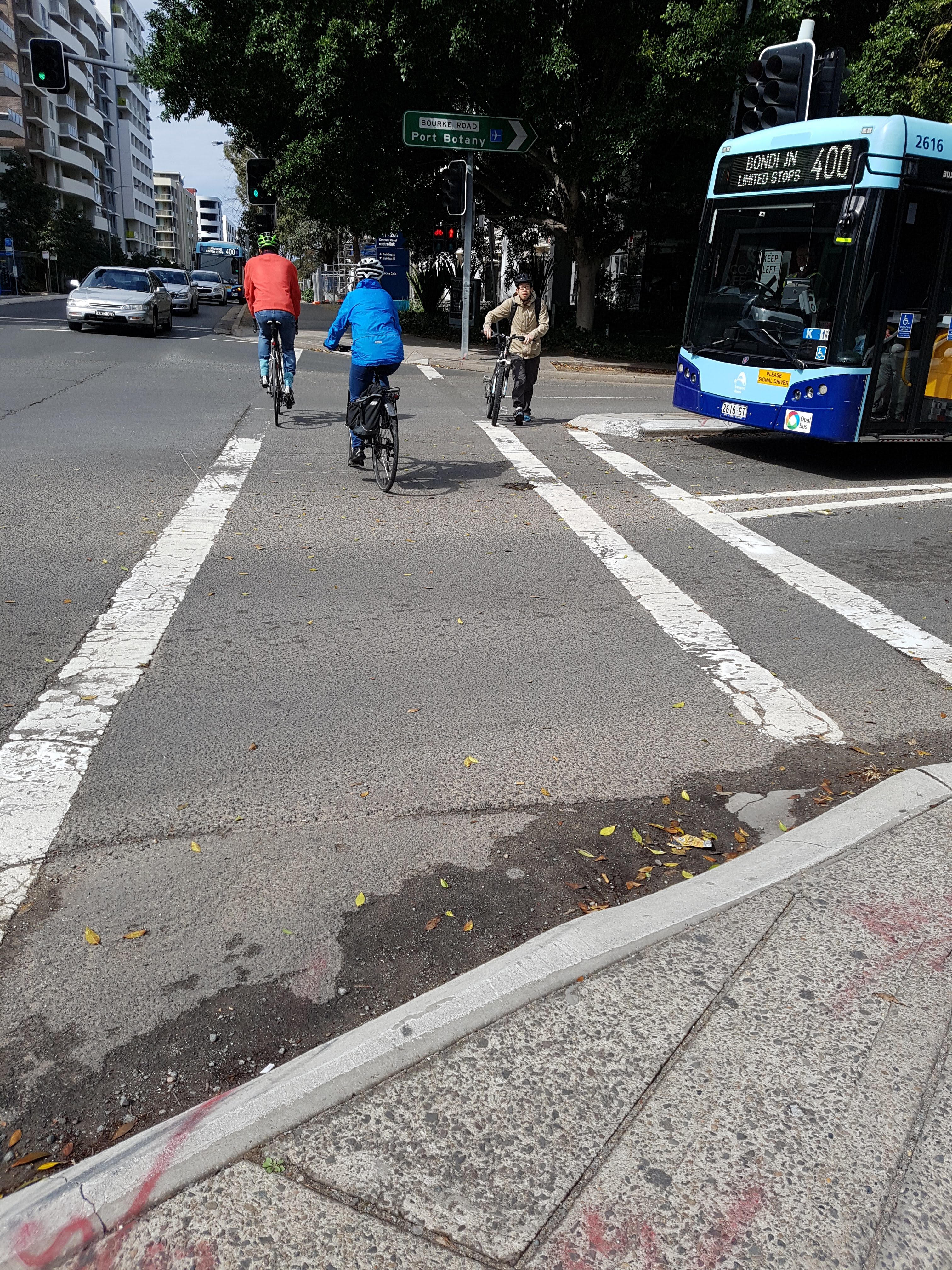
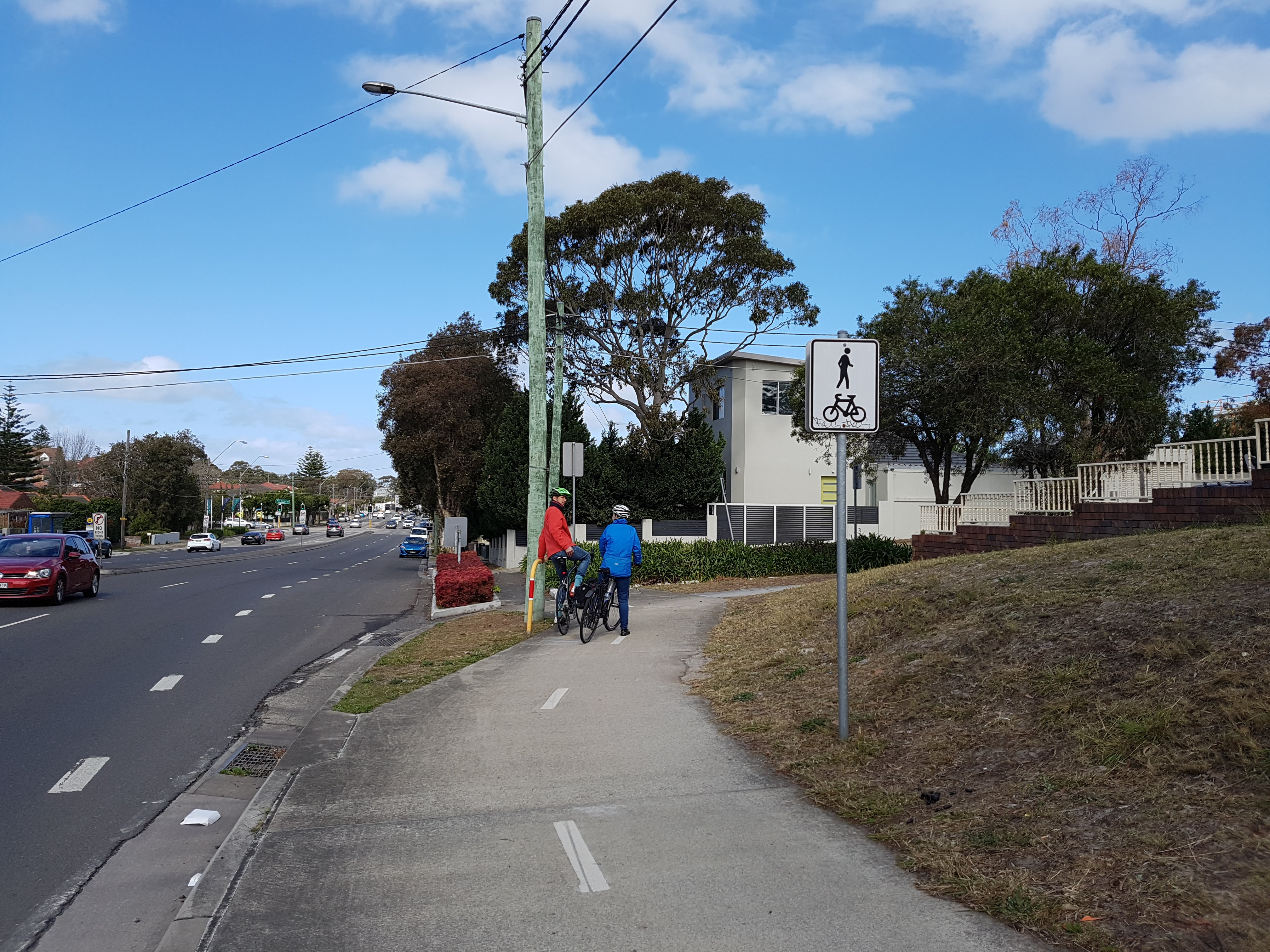
Travelling along Coward St, we arrive at the Mascot intersection with O’Riordan St. The on-road bicycle facility (“door zone”) transitions into a Shared Path facility on both sides of the road. Here there are 2 options:
- Continue straight (West) along Coward St to travel to the International Terminal (T1)
- Turn left (South) along O’Riordan St to travel to the Domestic Terminal (T2 & T3) – see yellow arrows below. This is what we did.
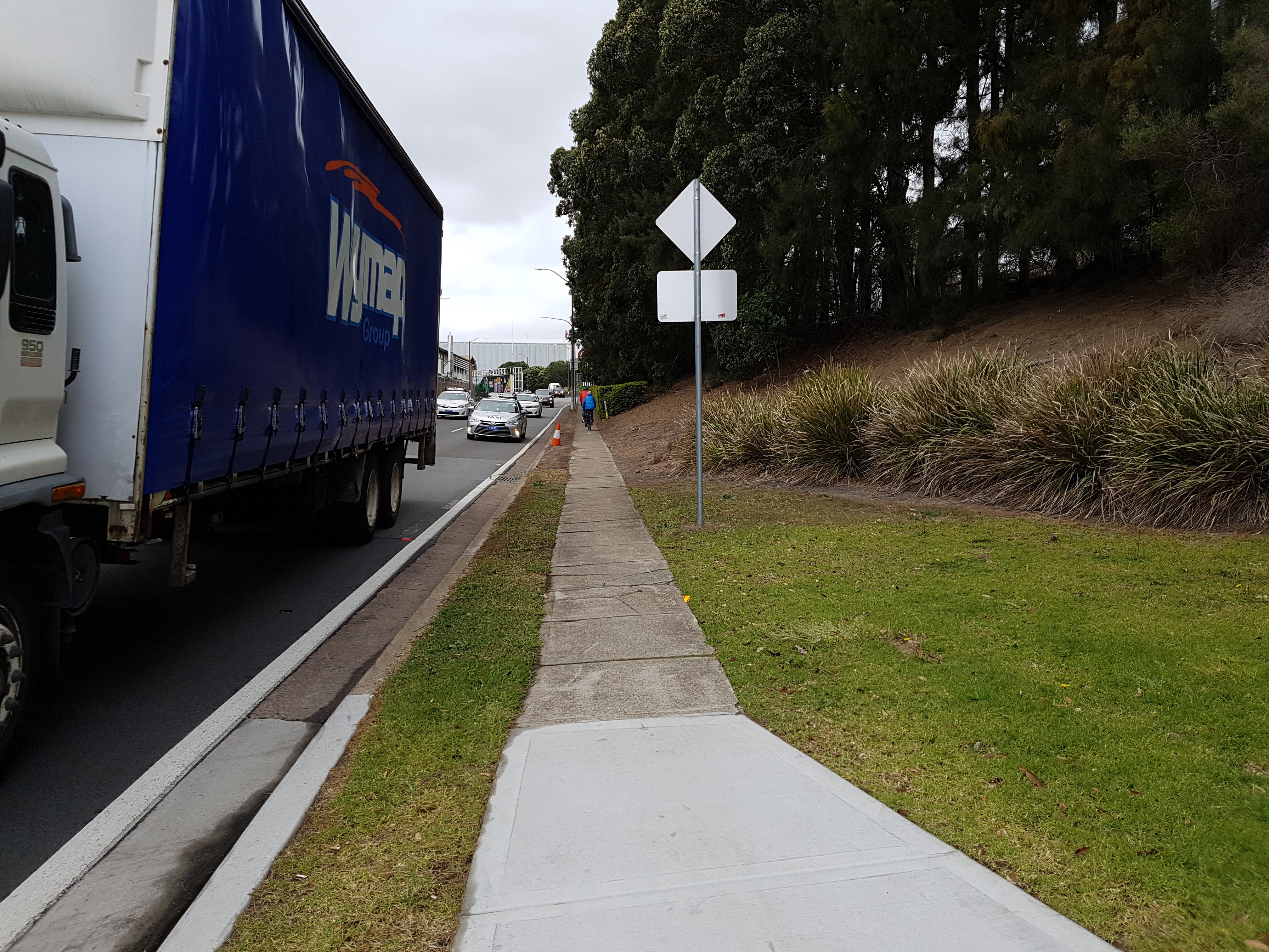
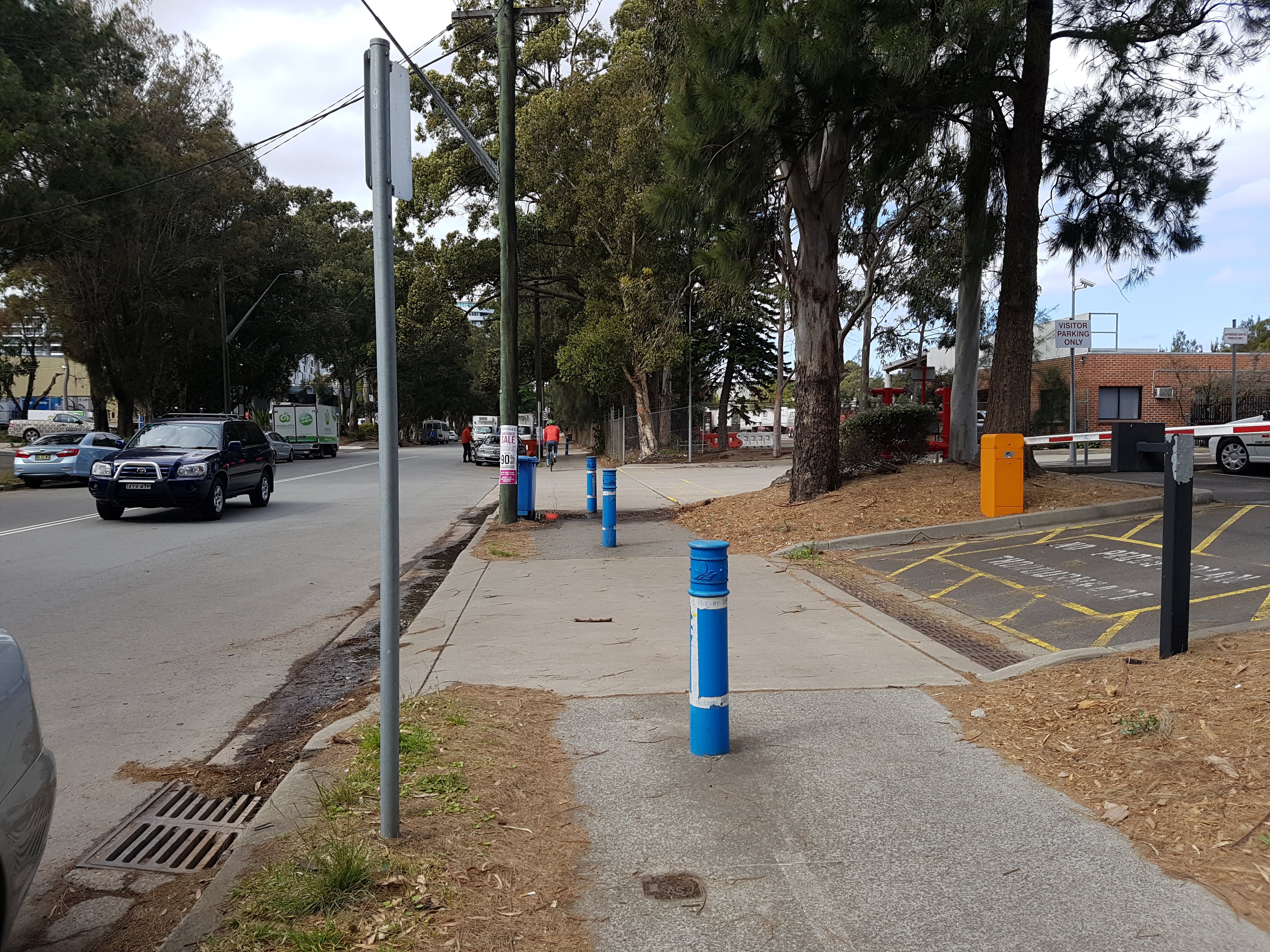
Halfway along to Bourke Rd, as per the NSW Road Rules, the Shared Path ends at the intersection with an unnamed side street. This means that bicycle users must dismount or transition to the road.
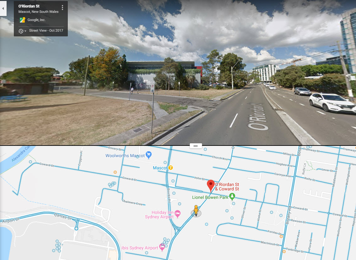
A minor change that could improve active travel access would be to convert the O’Riordan footpath into a Shared Path. This could be done using signage, similar to the existing shared path facility.
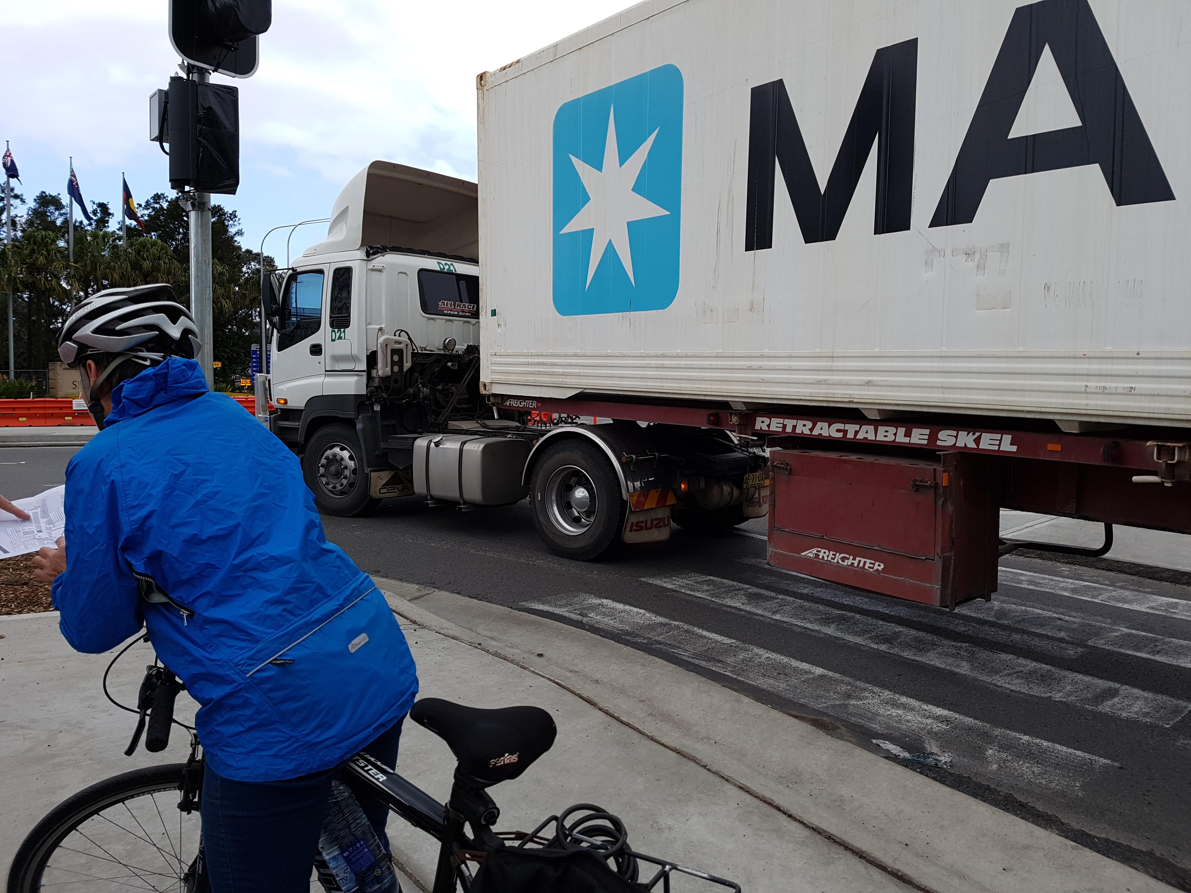
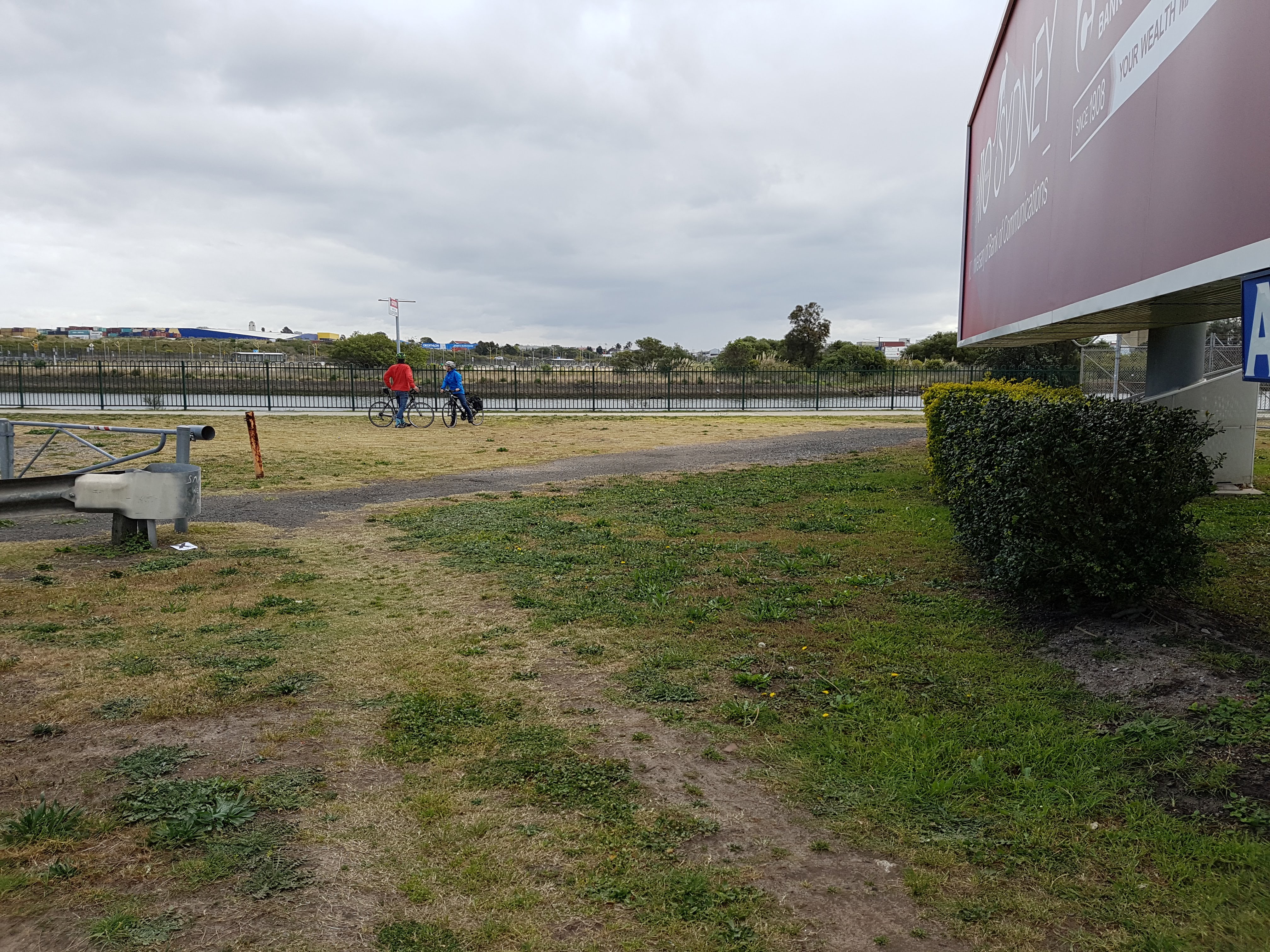
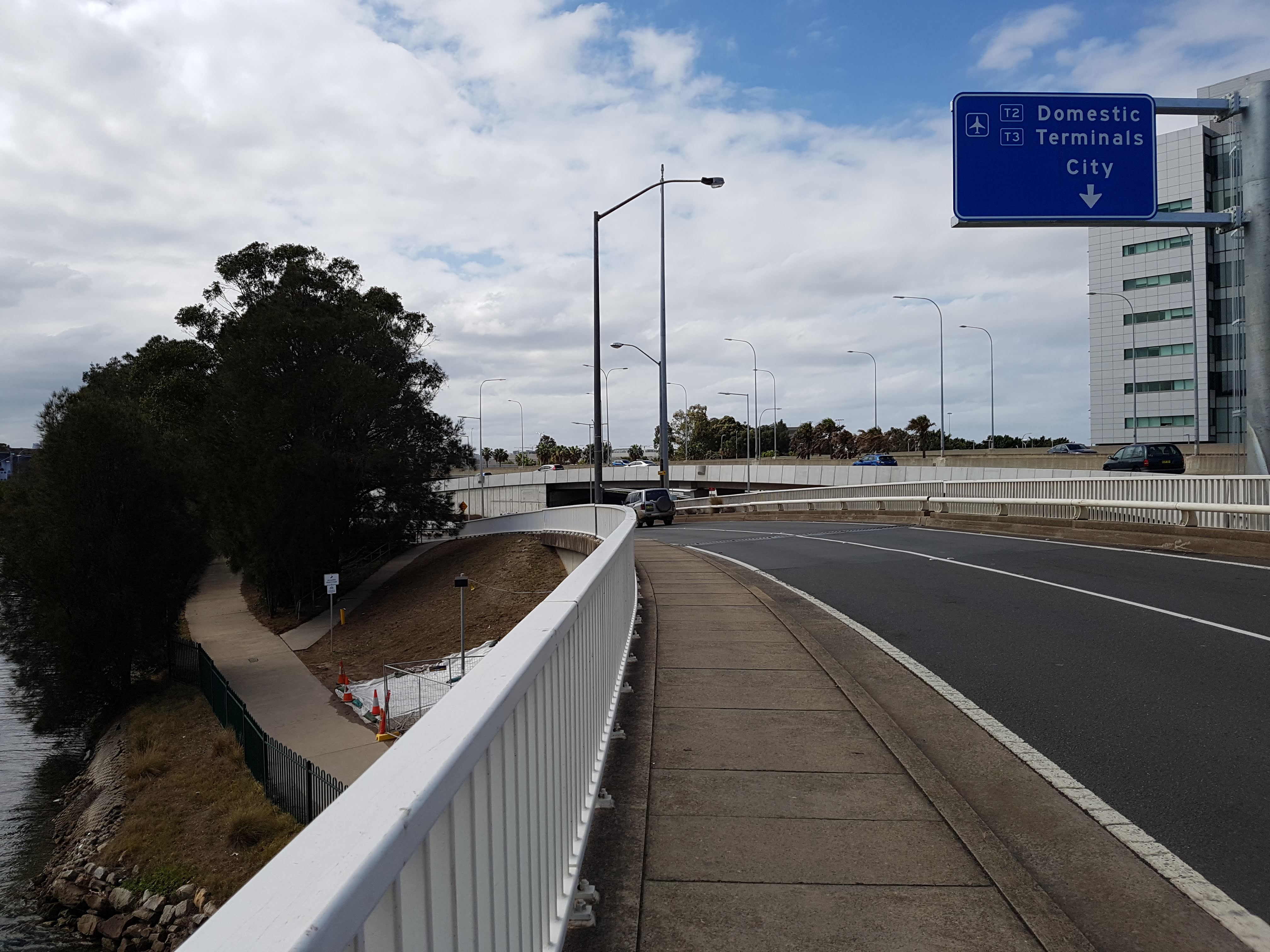
No current safe access to Domestic Terminal T2 & T3
We found there is no safe route to access the Domestic Terminal by bicycle from any direction.
The options are:
- Ride on the multi-lane road with the large trucks
- Dismount and walk the long distance to the terminal.
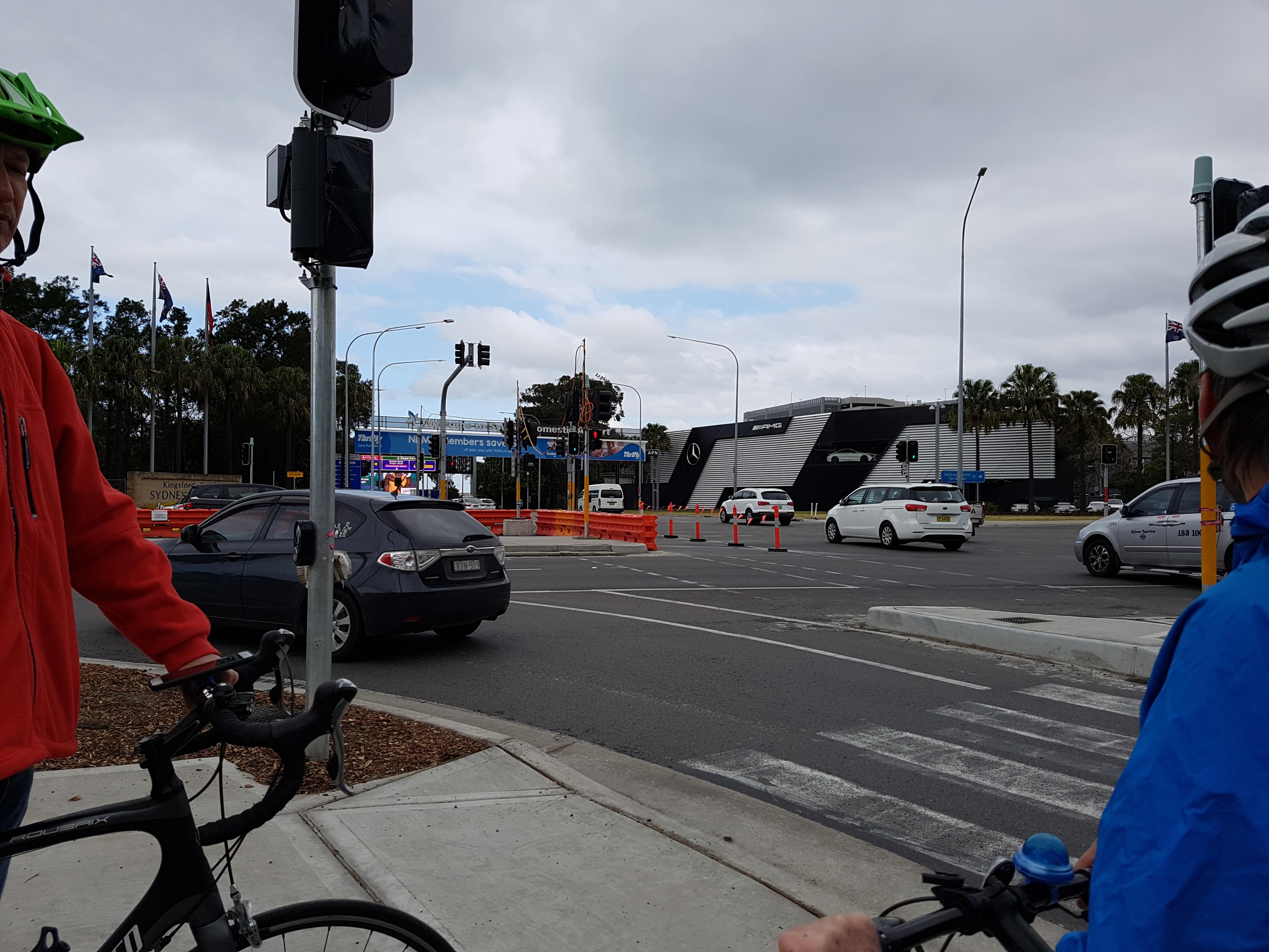 No safe or easy way to access the Domestic Airport
Access for people cycling must be added to and accommodated in future planning of this area.
Mar 2019 Update: Sydney Airport state “Additional infrastructure to support active transport has also been installed in our Domestic (T2/T3) precinct with 3.0m shared paths extending into the precinct and enhanced crossing facilities at the precinct entry. However, we recognise that more needs to be done.” As of April 2019, the entrance into the terminal at O’Riordan St appear pedestrian only (no bicycle lanterns), and there are no shared path markings.
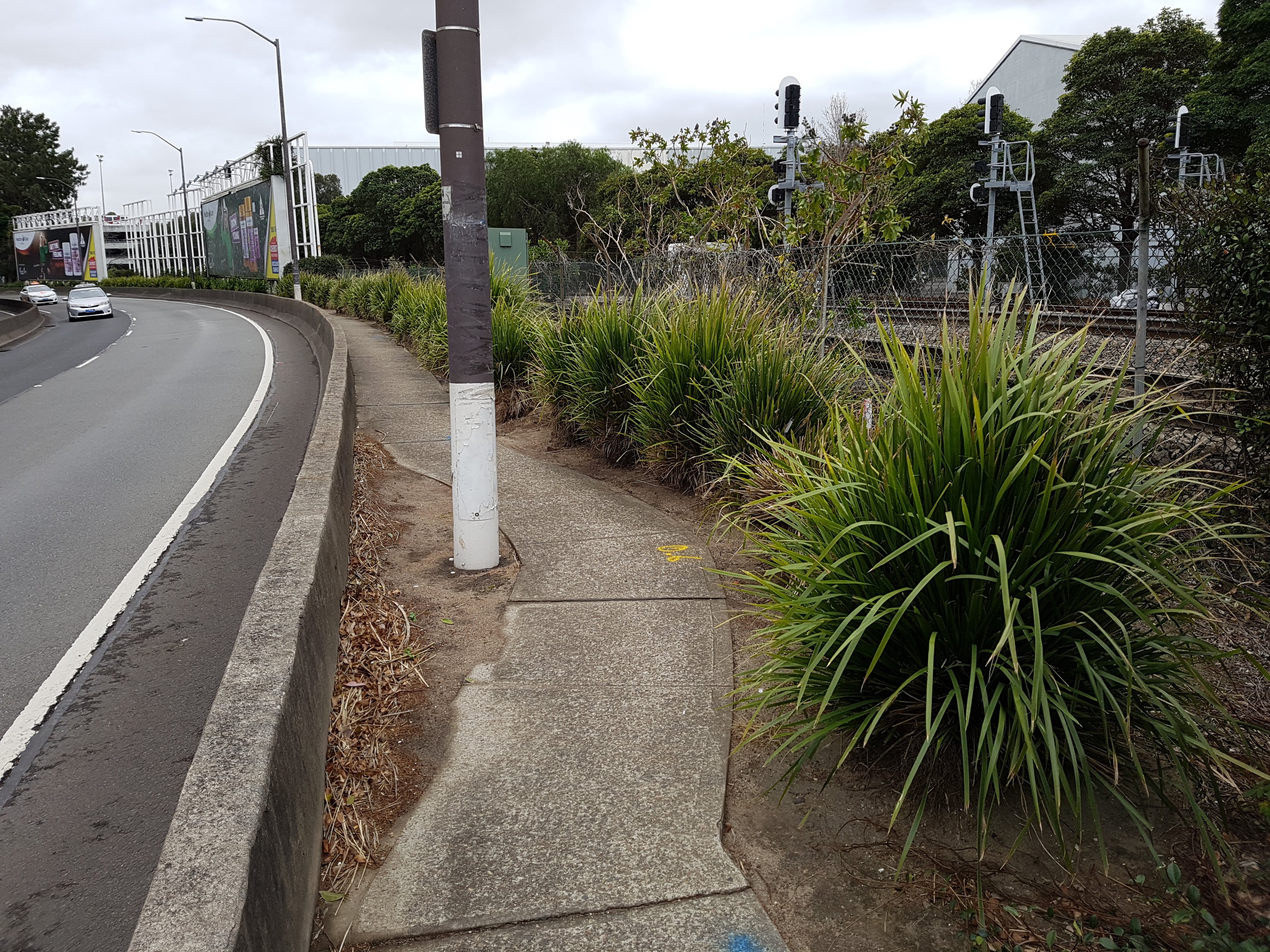
Travelling between Terminals
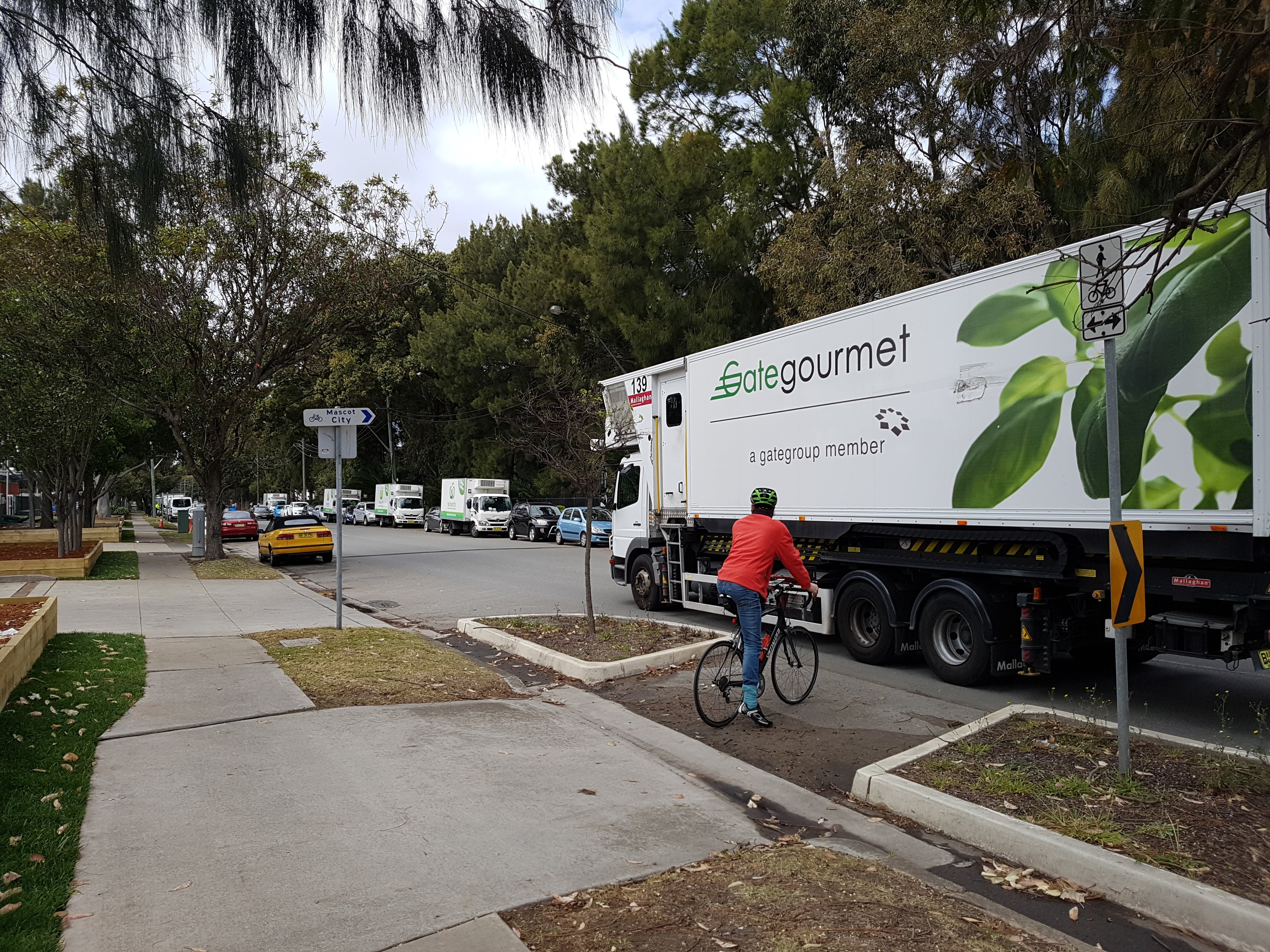
Qantas Drive footpath
Turning right (West) onto Qantas Drive, a footpath can be accessed that runs alongside the North side of Airport Drive. Note this is not a shared path.
The footpath quality changes along the route:
Qantas Drive footpath ends
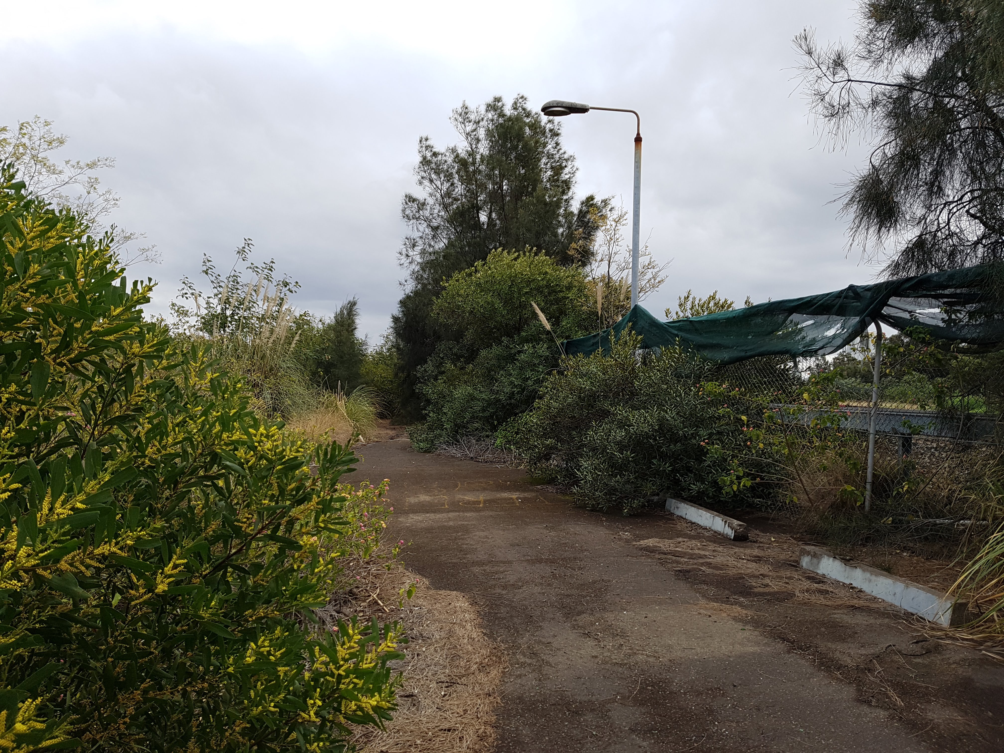
Halfway to Alexandra Canal, the footpath ends.
The desire line (goat track) in the absence of a footpath
Regardless of this, there is a desire line that has formed (also known as a “goat track”). Desire lines provide information that people are regularly using this route for travel (despite the difficulties / hazards).
 End of the footpath.
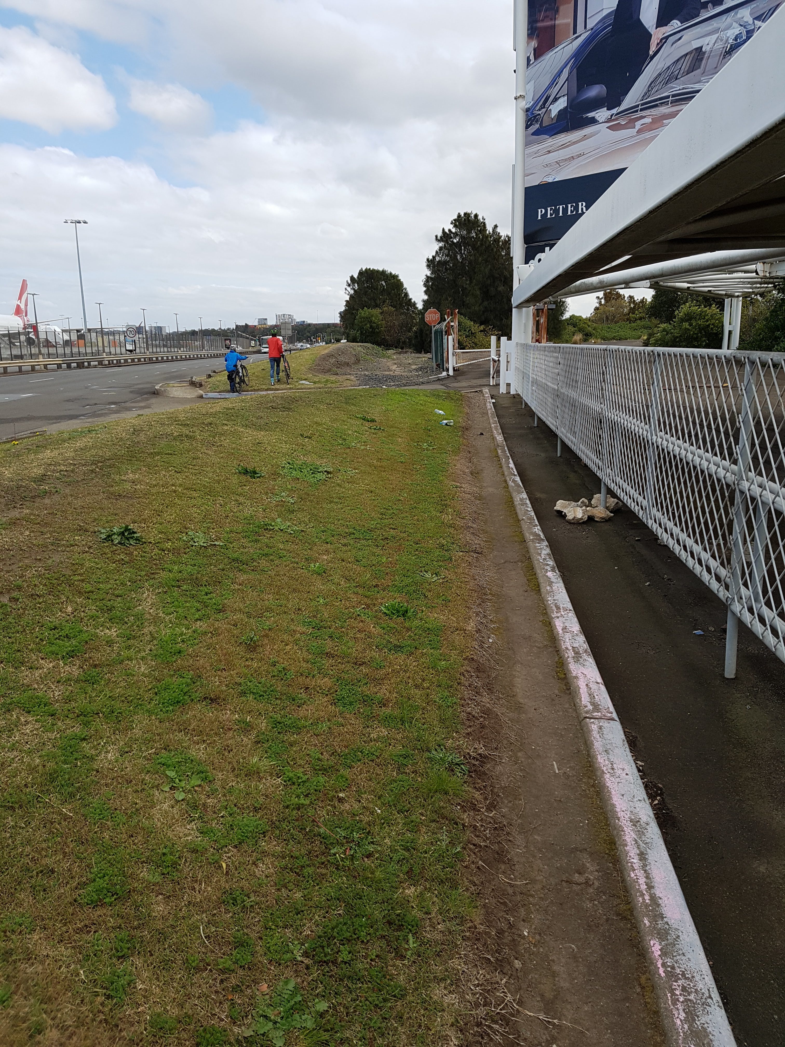
Connection (lack of) to existing path
Eventually, you find the Alexandra Canal shared path which continues all the way to the International Terminal as well as Arncliffe / Wolli Creek. The existing Alexandra Canal shared path was built as part of the M5 East motorway project.
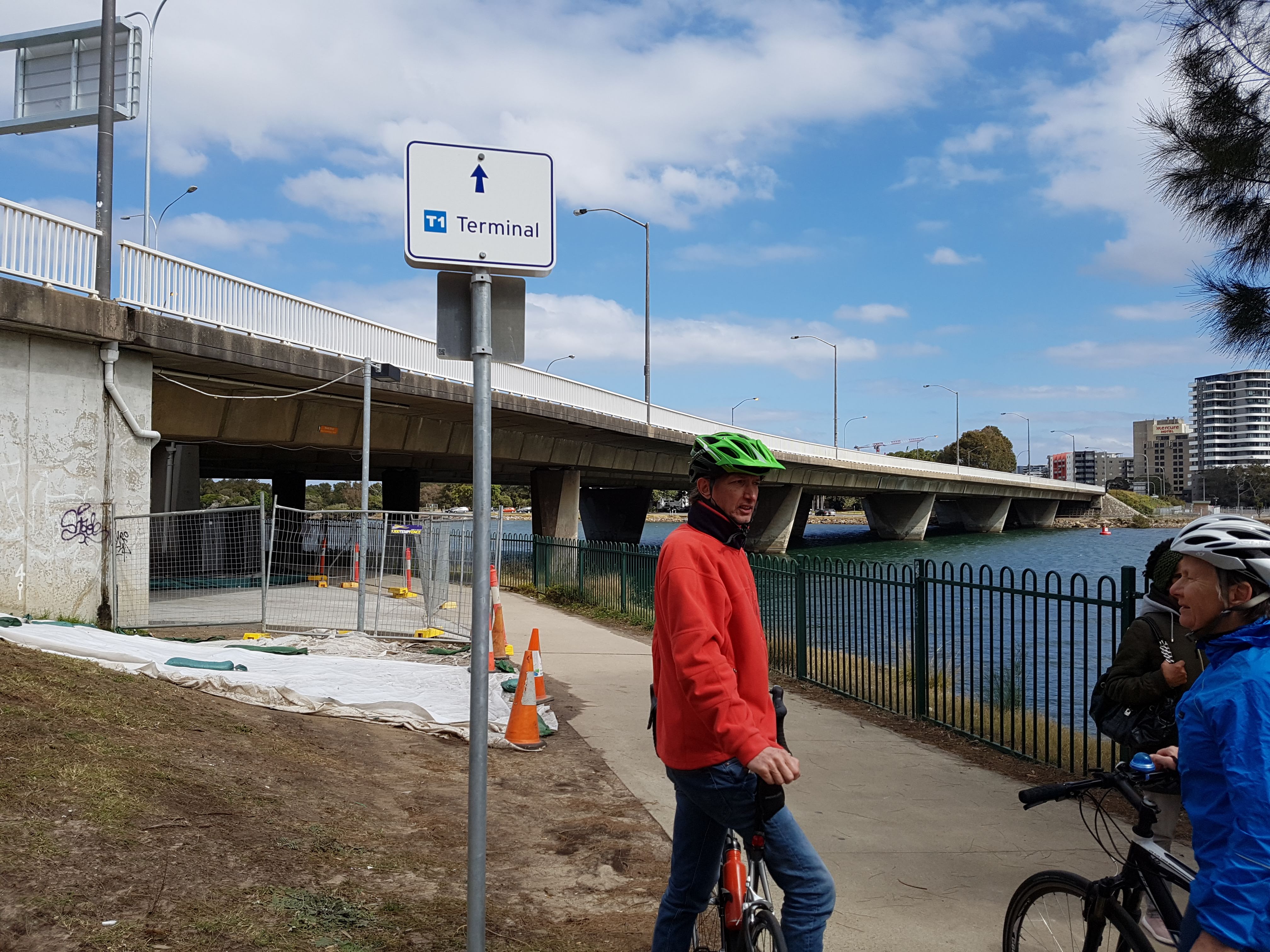
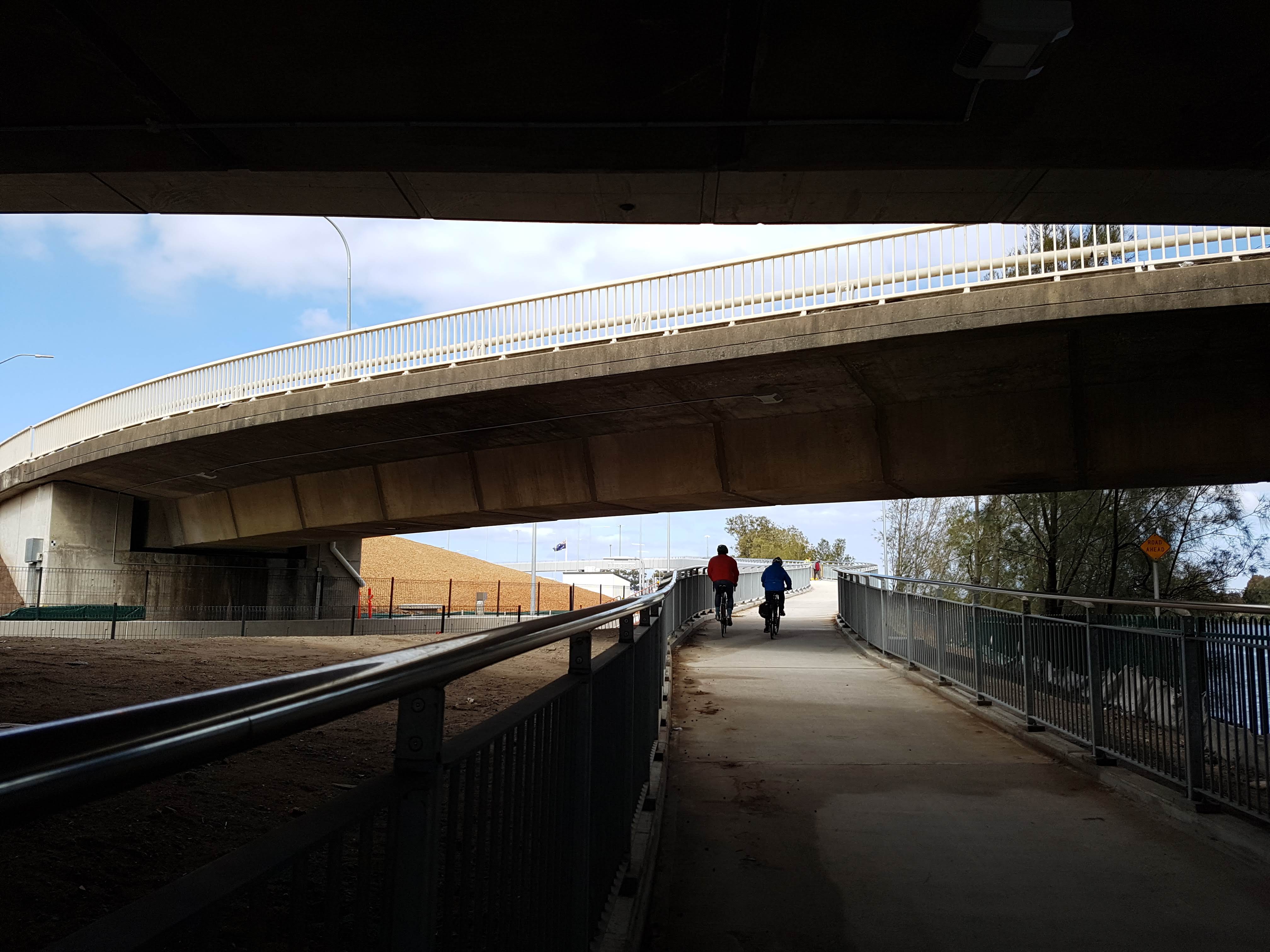
International Terminal / T1
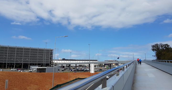
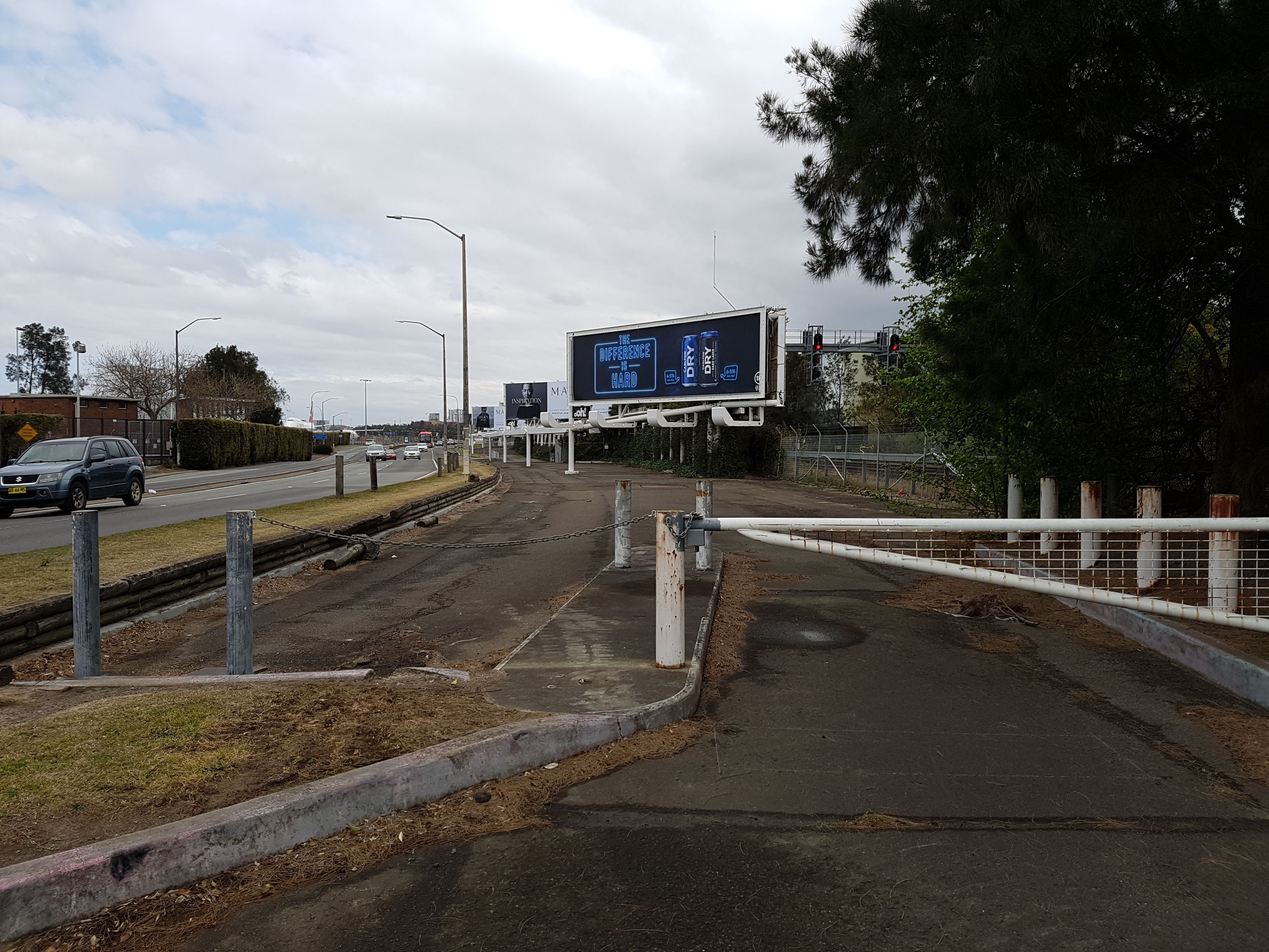
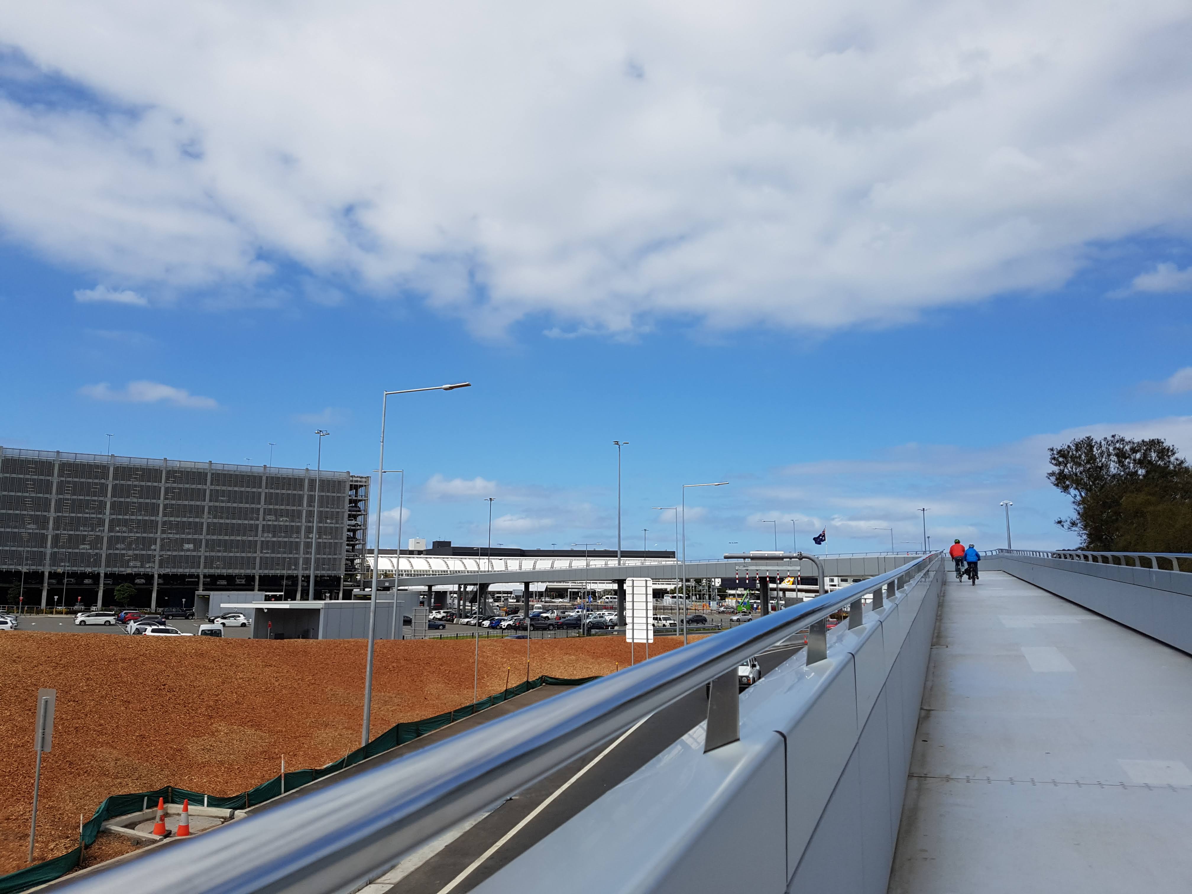
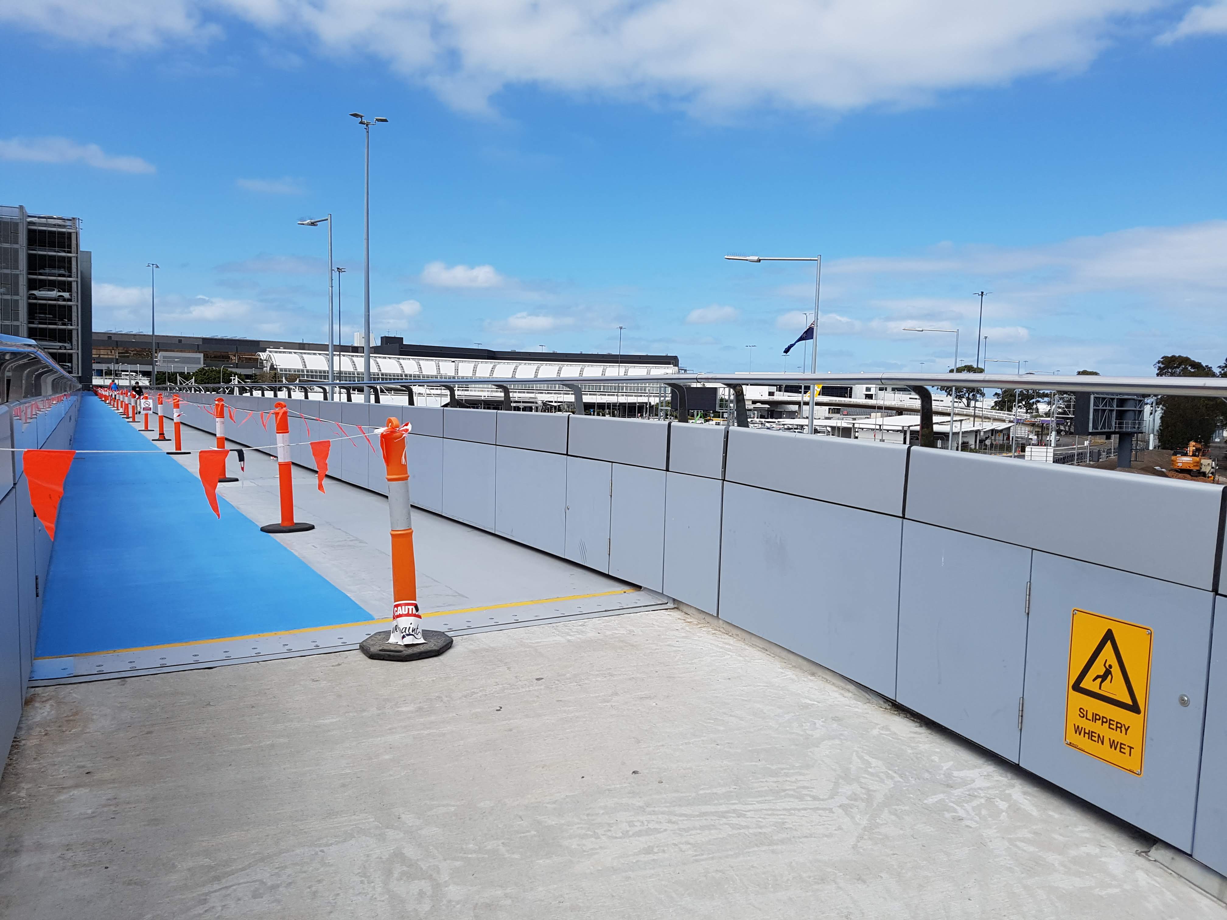
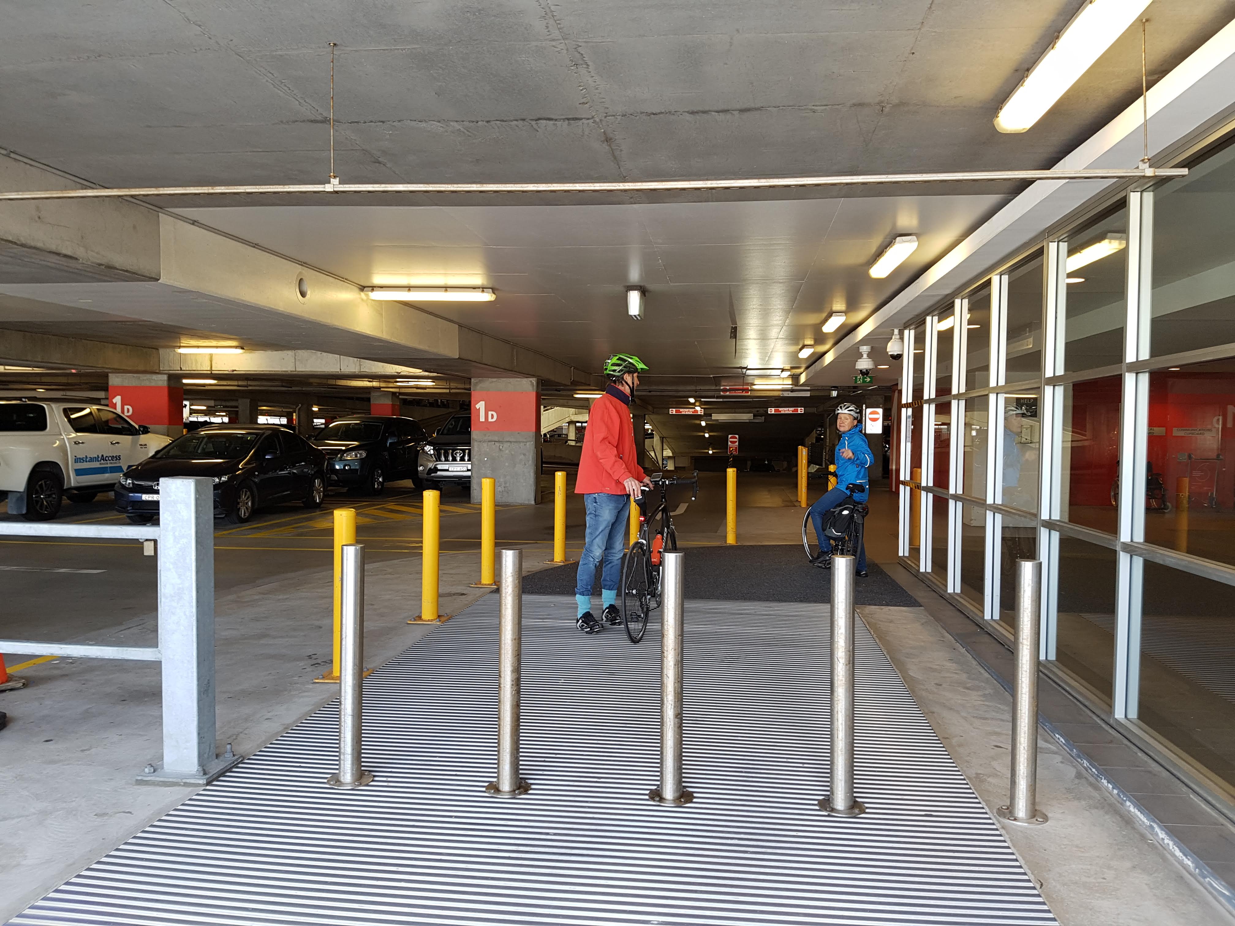
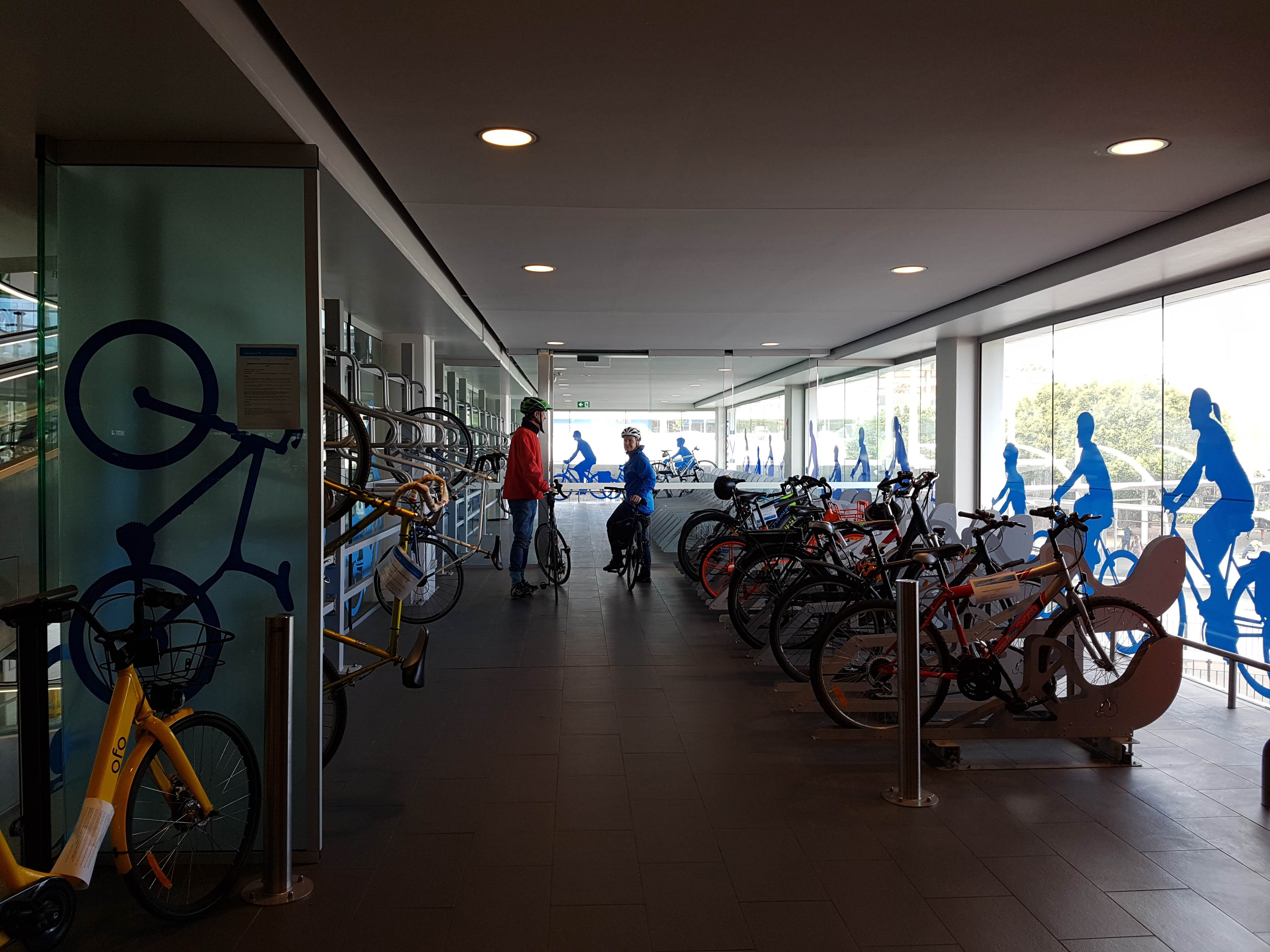
New walking/cycling bridge and bicycle parking facility
The connection to T1 can be accessed via the shared path alongside Airport Drive, just before Giovanni Brunetti (Marsh St) bridge. The new facility was impressive and the short time we were there, we saw staff arriving by bike and using the facility.
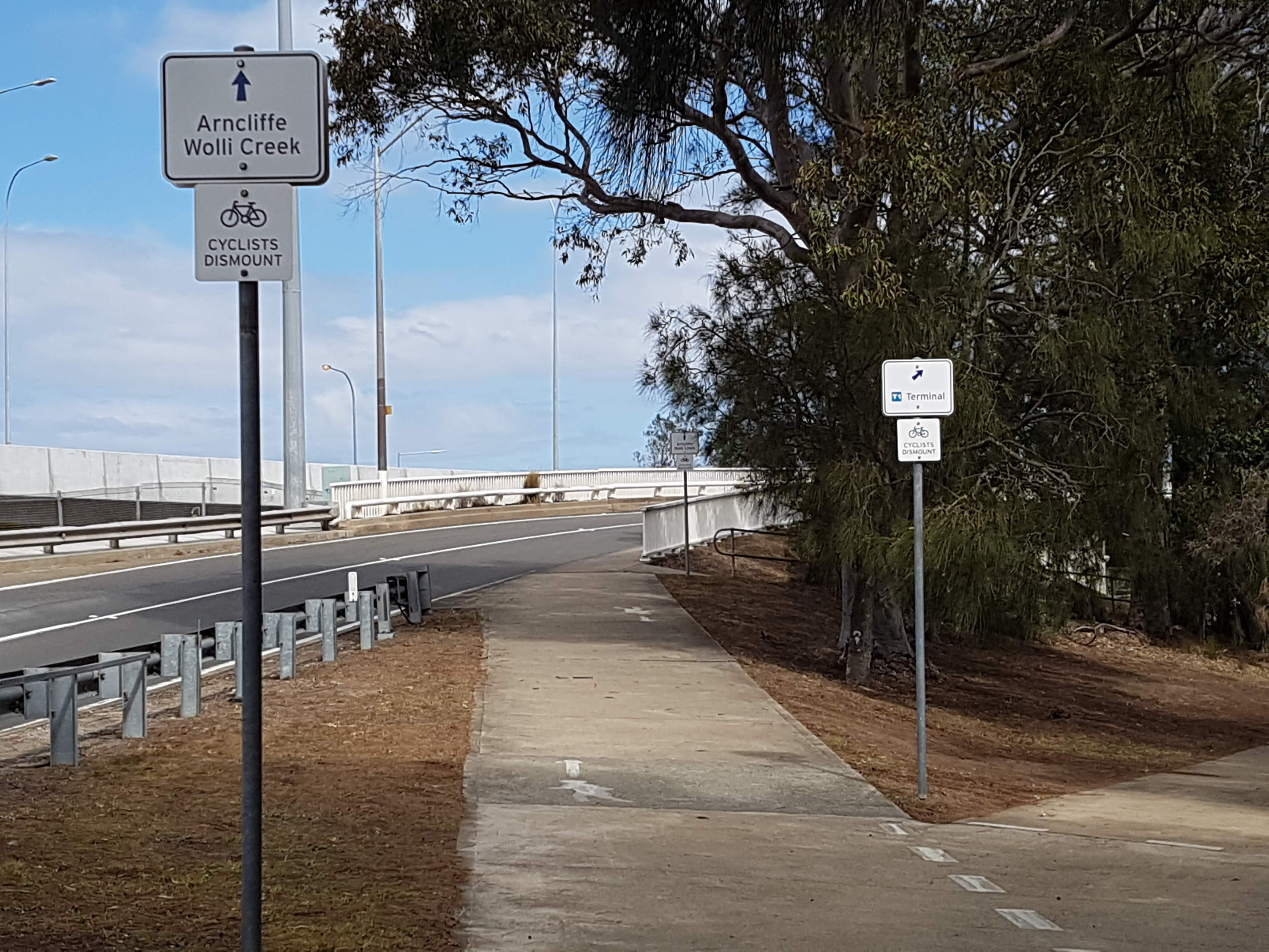 Fork: Arncliffe or T1
Access from the West (Arncliffe)
The RMS Airport West Precinct project recently delivered from the Arncliffe side:
- a dedicated cycleway on the southern side of Marsh Street to connect the existing path on the bridge to the Eve Street cycleway
- a pedestrian crossing at the intersection of Marsh Street and Flora Street
Note that there is no cycling access across the Giovanni Brunetti (Marsh St) bridge. We have been advised the current bridge structure cannot be amended easily to accommodate a wider shared path. The RMS are investigating alternatives such as an additional bridge alongside the existing bridge. It feels there is some reluctance to proceed with this project due to cost. BIKEast and surrounding Bicycle User Groups (BUGs) continue to advocate for this section of cycling access.
Access from the East (Mascot)
Coward St bicycle facility
From the Alexandra Canal shared path, there is a shared path along Coward St, all the way to O’Riordan St. There are old-style bollards when crossing the commercial driveways. The bicycle signals (lamps) have been installed at intersections to allow for riding across the intersection, however, there are still a few missing kerb ramps (currently steep kerb lips – may also be difficult for strollers and wheelchairs).
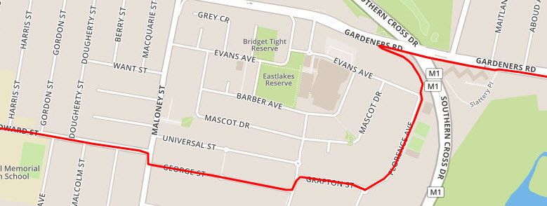
There is an on-road bicycle facility along the full length of Coward St from Eastlakes to Mascot. The Eastlakes end can be accessed from Kingsford via the back streets (eg. George St, Grafton St, Florence Ave, around Gardeners Rd).
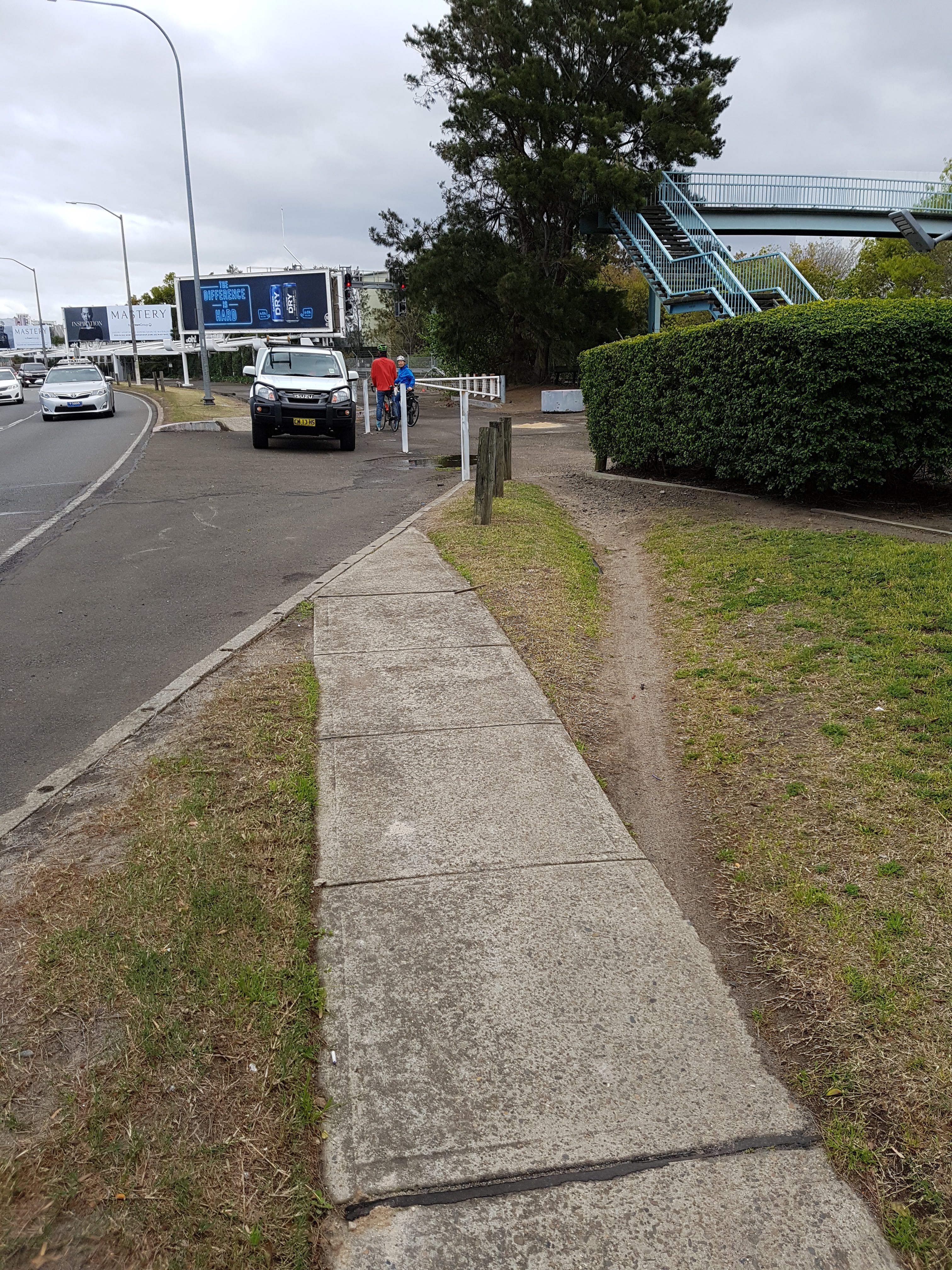
Wentworth Ave shared path
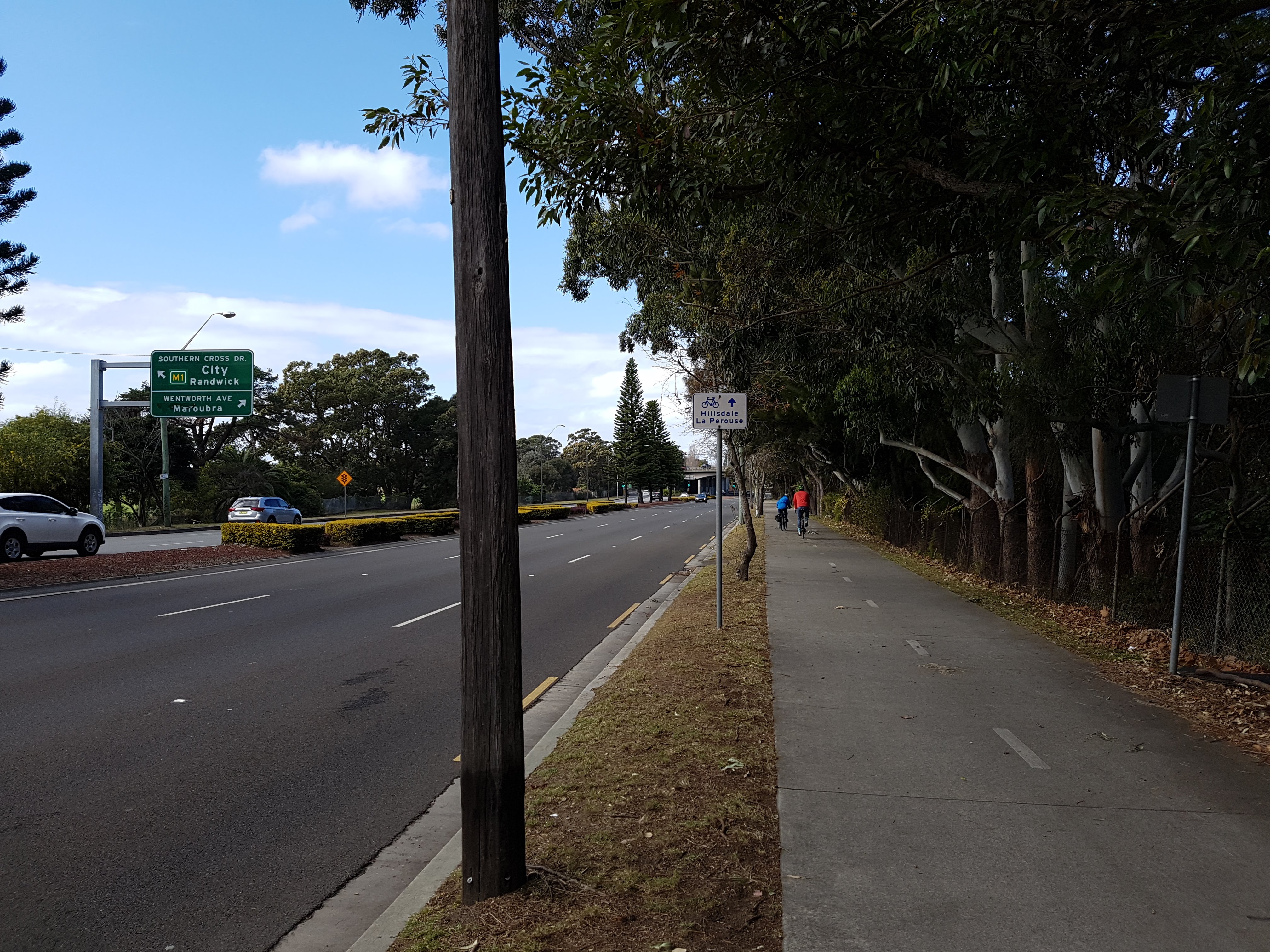
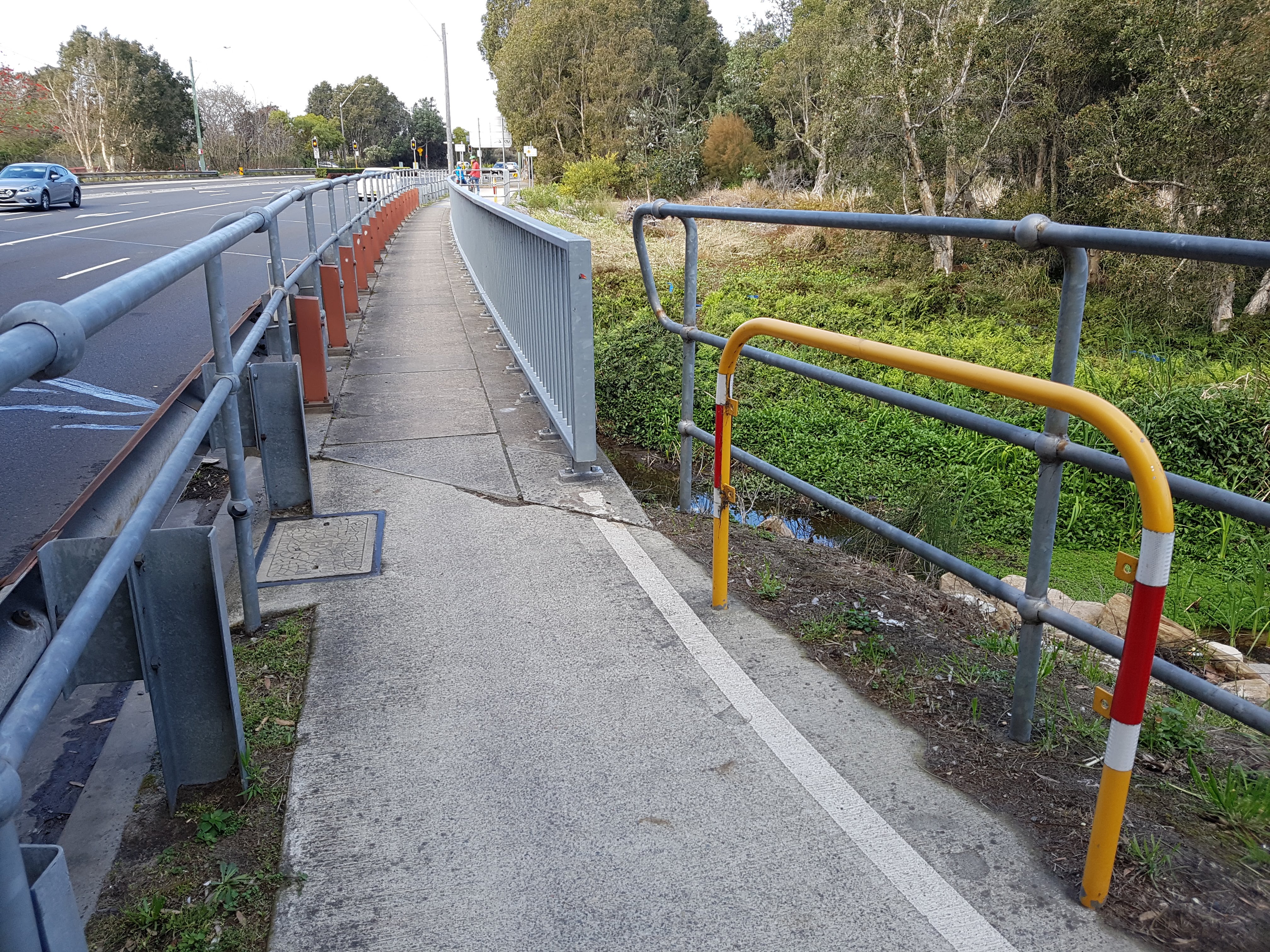
To return to the Eastern Suburbs from the Domestic Terminal, there is a quality shared path along most of Wentworth Ave, with some slight narrowing over bridges and underpasses. Unfortunately, it does not quite connect Mascot Town Centre with Pagewood (Eastgardens).
Use of the shared path requires using the backstreets around Mascot Town Centre and then a lucky crossing of Wentworth Ave.
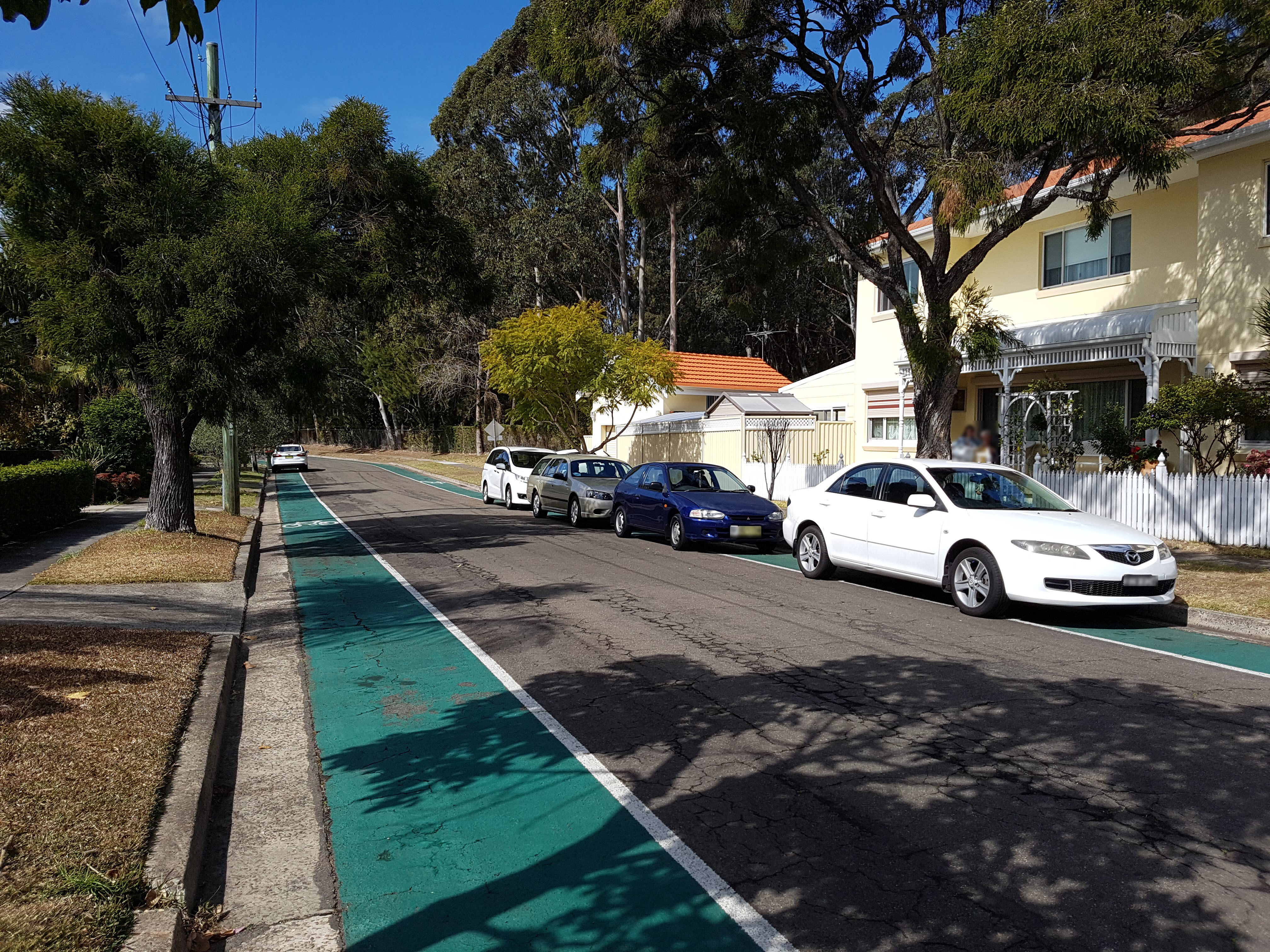
Dransfield Ave bicycle facility
To join the shared path, you connect at Todd Reserve and continue on Dransfield Ave. Despite the quality green bicycle facility installed on Dransfield, this route may not be desirable for most cyclists, as it is less intuitive and the lack of passive surveillance may result in people continuing along Wentworth Ave footpath instead. The underuse of this facility also means that residents are currently parking their vehicles on the bicycle facility.
After Dransfield Ave, the shared path continues along Wentworth Ave, stopping at Bay Street. This is 1 block away from the popular but busy Page St which connects to Heffron Park and onto Banks Ave – towards Maroubra Junction or Kingsford.
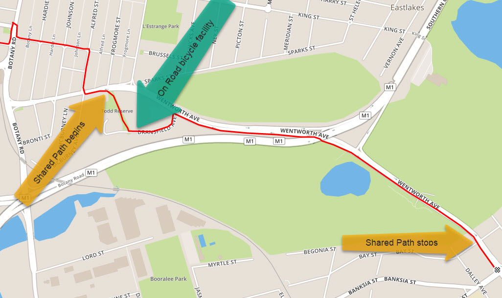
Update: Bayside Council have advised us (Sep 2018) that Wentworth Ave shared path (from Bay St) has been funded and ready to progress with design for a share path up to Corish Circuit / Banks Ave (Hensley Athletic field at Eastgardens) with works scheduled for the coming year.
Pagewood Green development
We hope with the upcoming Meriton Pagewood Green development, that Bayside Council and the RMS will continue to plan, encourage and improve active travel corridors around this area.
At Pagewood Green you couldn’t be more central to Sydney life with quick and easy access to the CBD and Eastern Suburbs. Stroll to Westfield Eastgarden’s major bus interchange or take a short drive to Mascot train station. By train, bus or car, you’ll be in the heart of Sydney in moments.